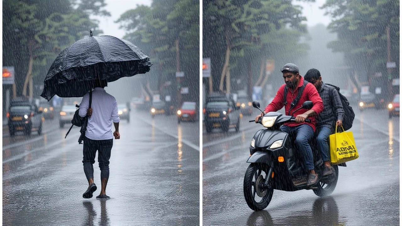
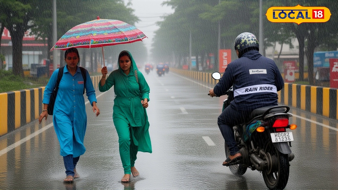
When Dr. Mrutyunjay Mohapatra, Director General of Meteorology at India Meteorological Department sounded the alarm on Monday, the city’s streets swelled with umbrellas and a palpable chill that hadn’t been felt in weeks. The agency issued a yellow alert for Delhi-NCR for October 6‑7, warning of intermittent heavy rain and a sudden temperature plunge of nearly six degrees Celsius.
What’s happening today?
The IMD’s forecast for Monday, October 6, 2025, predicts heavy to very heavy rainfall across northwest India, with the strongest bands slamming the capital region by late morning. The maximum temperature, which reached 34.1 °C on Sunday, is expected to dip to around 28 °C – one of the sharpest falls this season. Minimums, already a touch above normal at 24.2 °C, could slide to 20 °C by the evening as northwesterly winds sweep in.
Besides the capital, the system will batter National Capital Region and stretch into the sub‑Himalayan states – Jammu & Kashmir, Himachal Pradesh, Uttarakhand, Punjab, Haryana and Chandigarh – with very heavy rainfall expected.
How the Western Disturbance formed
Since October 4, a fresh Western Disturbance has been gathering moisture from the Arabian Sea and Bay of Bengal. By feeding low‑level moisture into the lower troposphere, the disturbance intensified on October 5‑7, creating the perfect recipe for heavy showers, hailstorms and gusts up to 50 km/h.
Upper‑air cyclonic circulation hovering over Arunachal Pradesh is feeding the system with additional lift, while the confluence of westerly and north‑easterly streams adds to the deluge. The IMD’s October 2 bulletin flagged the possibility of isolated extremely heavy rainfall (exceeding 204.4 mm) in parts of Meghalaya, Bihar and the sub‑Himalayan belts of West Bengal and Sikkim.
Impact across North India
Delhi has already logged triple its usual October rainfall in just five days, a stark sign of the disturbance’s ferocity. In the capital, commuters reported slick roads, occasional flooding in low‑lying neighborhoods, and a noticeable drop in humidity from the usual 80 % to around 68 % after the showers passed.
Further north, residents of Meghalaya documented isolated extremes of 21 cm in 24 hours, while Bihar saw similar figures on October 3‑4. In the sub‑Himalayan parts of West Bengal and Sikkim, very heavy rains have triggered landslide alerts and disrupted rail services.
Even the southern metros are feeling the ripple. Hyderabad is slated for thundershowers in the afternoon, with temperatures ranging between 21 °C and 30 °C and humidity spikes up to 87 %. Further east, Bengaluru will experience light rain under cloudy skies, while Chennai expects moderate thunderstorms and possible lightning.
Expert insights and monsoon outlook
"As the withdrawal of the Southwest Monsoon has been stalled by these overlapping systems, we may see a delay in the onset of the Northeast Monsoon," said Dr. Mohapatra. Normally kicking off in mid‑October, the Northeast Monsoon could push back by a week, but the IMD still predicts above‑normal rainfall – roughly 112 % of the Long Period Average.
The agency’s seasonal outlook also points to an overall above‑normal October rainfall for most of India, paired with below‑normal maximum temperatures across the north, east and northeast. Meanwhile, minimum temperatures are projected to stay above normal in the Western Himalayas, Saurashtra and Kutch.
On a broader climatic scale, the IMD reported neutral ENSO conditions, with a La Niña likely to develop post‑monsoon. Historically, La Niña brings cooler weather and enhanced rainfall to the sub‑continent, a factor that could further amplify the current wet spell.

What to expect in the coming days
For Delhi‑NCR, the yellow alert stays in force through October 7. Residents should brace for continued showers, occasional hail, and strong breezes. By October 8, the system is expected to weaken, with daytime highs rebounding to 29‑31 °C and nighttime lows hovering around 22‑24 °C.
Travelers heading to the Himalayas should monitor local advisories, especially for landslide‑prone routes. In the south, the monsoon‑seasoned states—Tamil Nadu, coastal Andhra Pradesh, Rayalaseema, Kerala and south‑interior Karnataka—can look forward to the delayed but potentially abundant Northeast Monsoon rains.
In short, the Western Disturbance isn’t just a fleeting shower; it’s reshaping temperature trends, delaying seasonal cycles, and reminding the sub‑continent how quickly weather can swing from scorching to soggy.
Frequently Asked Questions
How will the heavy rain affect commuters in Delhi-NCR?
Roads in low‑lying areas are likely to experience waterlogging, especially during peak hours. The Delhi Metro has advised passengers to expect minor delays on the Red and Yellow lines, while bus services may run on altered schedules. Carrying an umbrella and allowing extra travel time are prudent measures.
What is a Western Disturbance and why does it bring such cold air?
A Western Disturbance is an extra‑tropical storm that originates over the Mediterranean and moves eastward, picking up moisture over the Arabian Sea and the Bay of Bengal. As it reaches north‑west India, the system drags cool, dry air from higher latitudes, causing temperature drops alongside heavy precipitation.
Will the delayed Northeast Monsoon impact agriculture in South India?
Farmers in Tamil Nadu and coastal Andhra Pradesh rely on the Northeast Monsoon for crop irrigation. A one‑week postponement could tighten water supplies for short‑duration rice varieties, but the IMD’s forecast of above‑normal rainfall (≈112 % of the long‑term average) should offset the delay, provided the rains are evenly distributed.
Are there any health concerns associated with the sudden temperature drop?
A rapid 6 °C dip can aggravate respiratory ailments, especially for the elderly and children. Health officials suggest staying indoors during the heaviest showers, keeping windows closed, and using humidifiers if indoor air feels too dry after the rain.
What should travelers to the Himalayas keep in mind this week?
Landslide warnings are active in Uttarakhand and Himachal Pradesh. Visitors should check local advisories, avoid trekking on exposed ridgelines, and carry waterproof gear. Road closures have already been reported near Manali and Shimla.